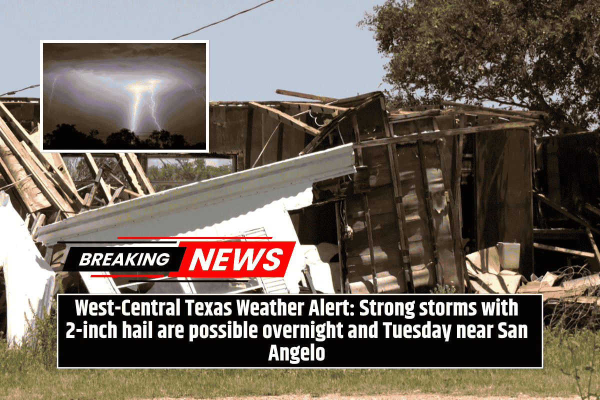
A line of severe storms moving through west-central Texas is expected to bring damaging winds, flash flooding, and large hail—some of it larger than golf balls—overnight. The National Weather Service in San Angelo has issued warnings for these conditions, with the highest risk period starting after midnight and continuing through early Tuesday morning.
Areas Under Threat
The storm system will primarily affect areas under a Level 2 “Slight Risk” zone, which includes San Angelo, Sweetwater, and Sterling City. These areas may experience isolated, intense thunderstorms with heavy rainfall, strong winds, and potentially damaging hail. Meanwhile, towns like Junction, Brady, and Abilene are at a lower risk but should still remain alert, as these areas may experience some impacts from the storm.
Key Risks from the Storms
Residents, particularly those in low-lying or flood-prone areas, should prepare for sudden heavy rainfall, which could lead to flash flooding. The storms could also bring wind gusts strong enough to knock down trees or power lines, with the most dangerous winds expected during the early morning commute. Additionally, very large hail, over 2 inches in diameter, is possible in the strongest storm cells.
Safety Tips for Residents
With the severe storms expected to hit overnight, drivers are urged to avoid travel if possible. If you must drive, make sure to check road conditions early Tuesday, as flooding and debris could make travel dangerous. Residents should also prepare for potential power outages by charging phones, ensuring flashlights are ready, and having emergency kits available.
Ongoing Monitoring
The storms are expected to last into sunrise, and additional watches or warnings may be issued as the weather situation develops. Stay informed and prepared as the weather could continue to change throughout the night and into Tuesday morning.